
Earth SciencesNature
Widespread retreat of coastal habitat is likely at warming levels above 1.5°C
N. Saintilan, B. Horton, et al.
This groundbreaking study delves into how rising sea levels threaten vital coastal ecosystems like mangroves, tidal marshes, and coral reef islands. Conducted by a team of experts including Neil Saintilan and Benjamin Horton, it reveals critical thresholds for ecosystem retreat linked to relative sea-level rise. Discover the importance of meeting the Paris Agreement targets to safeguard these essential environments.
Related Publications
Explore these studies to deepen your understanding
Adjacent work that informs or extends this paper's methodology and findings.
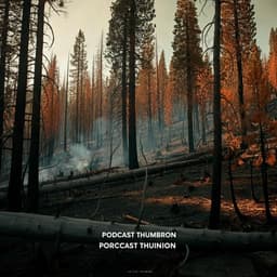
Environmental Studies and Forestry
Widespread exposure to altered fire regimes under 2°C warming is projected to transform conifer forests of the Western United States
T. J. Hoecker, S. A. Parks, et al.

Environmental Studies and Forestry
Impact of population aging on future temperature-related mortality at different global warming levels
K. Chen, E. D. Schrijver, et al.

Earth Sciences
Rapid intensification of tropical cyclones in the Gulf of Mexico is more likely during marine heatwaves
S. Radfar, H. Moftakhari, et al.

Engineering and Technology
Feasible supply of steel and cement within a carbon budget is likely to fall short of expected global demand
T. Watari, A. C. Serranho, et al.


