Environmental Studies and Forestrynpj Urban Sustainability
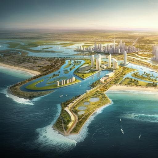
Protection and restoration of coastal habitats yield multiple benefits for urban residents as sea levels rise
A. D. Guerry, J. Silver, et al.
This study, conducted by A. D. Guerry, J. Silver, J. Beagle, and others, reveals how nature-based solutions can significantly enhance adaptation to rising seas in coastal areas. With up to eight times the benefits compared to traditional engineering methods, this research highlights essential tools for evaluating the multiple advantages of these innovative approaches in urban estuaries.
Related Publications
Explore these studies to deepen your understanding
Adjacent work that informs or extends this paper's methodology and findings.
Earth Sciences
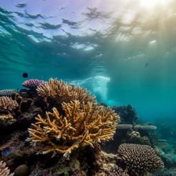
The potential for coral reef restoration to mitigate coastal flooding as sea levels rise
L. T. Toth, C. D. Storlazzi, et al.

Engineering and Technology
Marsh restoration in front of seawalls is an economically justified nature-based solution for coastal protection
E. I. H. Lee and H. Nepf

Economics
The macroeconomic effects of adapting to high-end sea-level rise via protection and migration
G. Bachner, D. Lincke, et al.

Education
Satisfaction as a key antecedent for word of mouth and an essential mediator for service quality and brand trust in international education
H. Stribbell and S. Duangekanong


