
Earth SciencesNature Communications
Global land use changes are four times greater than previously estimated
K. Winkler, R. Fuchs, et al.
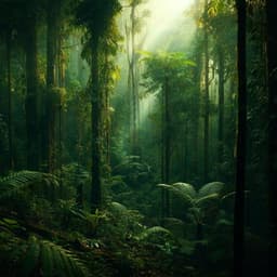
Dive into a groundbreaking study by Karina Winkler, Richard Fuchs, Mark Rounsevell, and Martin Herold, revealing that almost a third of the global land area has changed in just sixty years, much more than previously thought! Understand the complex dynamics of land use change and its implications for food security and biodiversity.
Related Publications
Explore these studies to deepen your understanding
Adjacent work that informs or extends this paper's methodology and findings.
Environmental Studies and Forestry
Human degradation of tropical moist forests is greater than previously estimated
C. Bourgoin, G. Ceccherini, et al.

Environmental Studies and Forestry
Projecting spatial interactions between global population and land use changes in the 21st century
D. Yang, W. Luan, et al.
Environmental Studies and Forestry
Impacts of the global food system on terrestrial biodiversity from land use and climate change
E. H. Boakes, C. Dalin, et al.

Environmental Studies and Forestry
More than 17,000 tree species are at risk from rapid global change
C. C. F. Boonman, J. M. Serra-diaz, et al.


