logo
ResearchBunny Logo
Deep learning for detecting and characterizing oil and gas well pads in satellite imagery

Environmental Studies and Forestry

Deep learning for detecting and characterizing oil and gas well pads in satellite imagery

N. Ramachandran, J. Irvin, et al.

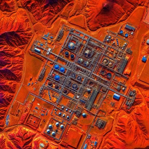
This research, conducted by Neel Ramachandran, Jeremy Irvin, Mark Omara, Ritesh Gautam, Kelsey Meisenhelder, Erfan Rostami, Hao Sheng, Andrew Y. Ng, and Robert B. Jackson, presents a groundbreaking deep learning approach to mapping oil and gas infrastructure using high-resolution satellite imagery, revealing previously unmapped well pads and storage tanks in key basins.

00:00
00:00
~3 min • Beginner • English
Abstract
Methane emissions from the oil and gas sector are a large contributor to climate change. Robust emission quantification and source attribution are needed for mitigating methane emissions, requiring a transparent, comprehensive, and accurate geospatial database of oil and gas infrastructure. Realizing such a database is hindered by data gaps nationally and globally. To fill these gaps, we present a deep learning approach on freely available, high-resolution satellite imagery for automatically mapping well pads and storage tanks. We validate the results in the Permian and Denver-Julesburg basins, two high-producing basins in the United States. Our approach achieves high performance on expert-curated datasets of well pads (Precision = 0.955, Recall = 0.904) and storage tanks (Precision = 0.962, Recall = 0.968). When deployed across the entire basins, the approach captures a majority of well pads in existing datasets (79.5%) and detects a substantial number (>70,000) of well pads not present in those datasets. Furthermore, we detect storage tanks (>169,000) on well pads, which were not mapped in existing datasets. We identify remaining challenges with the approach, which, when solved, should enable a globally scalable and public framework for mapping well pads, storage tanks, and other oil and gas infrastructure.
Publisher
Nature Communications
Published On
Aug 15, 2024
Authors
Neel Ramachandran, Jeremy Irvin, Mark Omara, Ritesh Gautam, Kelsey Meisenhelder, Erfan Rostami, Hao Sheng, Andrew Y. Ng, Robert B. Jackson
Tags
methane emissions
satellite imagery
deep learning
oil and gas infrastructure
environmental impact
mapping technology
Permian basin
Listen, Learn & Level Up
Over 10,000 hours of research content in 25+ fields, available in 12+ languages.
No more digging through PDFs, just hit play and absorb the world's latest research in your language, on your time.
listen to research audio papers with researchbunny