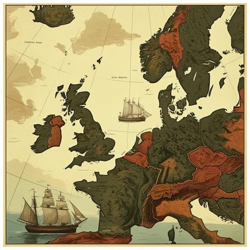
A multi-criteria simulation of European coastal shipping routes in the 'age of sail'
A. D. Litvine, J. Lewis, et al.
Explore these studies to deepen your understanding
Adjacent work that informs or extends this paper's methodology and findings.

Discipline and distinction in the age of the Internet: a sociological study of the fitness practice
J. Tang and Z. Xie

Efficacy of early PET-CT directed switch to carboplatin and paclitaxel based definitive chemoradiotherapy in patients with oesophageal cancer who have a poor early response to induction cisplatin and capecitabine in the UK: a multi-centre randomised controlled phase II trial
S. Mukherjee, C. N. Hurt, et al.

Understanding the influence of business innovation context on intentions of enrolment in master education of STEM students: a multi-level choice model
A. Zamfir, A. A. Davidescu, et al.

A simulation-based analysis of the impact of rhetorical citations in science
H. Bao and M. Teplitskiy


