Earth SciencesNature Communications
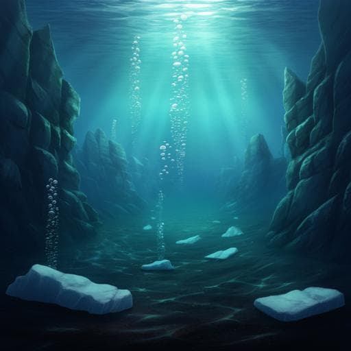
Widespread natural methane and oil leakage from sub-marine Arctic reservoirs
P. Serov, R. Mattingsdal, et al.
This paper uncovers the astonishing release of methane and oil from geological reservoirs in the Arctic Ocean, revealing a crucial link between glacial erosion and hydrocarbon emissions. Conducted by a team led by Pavel Serov and including Rune Mattingsdal, Monica Winsborrow, Henry Patton, and Karin Andreassen, this research highlights an underestimated source of fossil methane in the global carbon cycle.
Related Publications
Explore these studies to deepen your understanding
Adjacent work that informs or extends this paper's methodology and findings.
Environmental Studies and Forestry
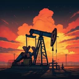
Methane emissions from US low production oil and natural gas well sites
M. Omara, D. Zavala-araiza, et al.

Health and Fitness
MyD88 determines the protective effects of fish oil and perilla oil against metabolic disorders and inflammation in adipose tissue from mice fed a high-fat diet
F. Wang, M. Hu, et al.

Environmental Studies and Forestry
Global food insecurity and famine from reduced crop, marine fishery and livestock production due to climate disruption from nuclear war soot injection
L. Xia, A. Robock, et al.
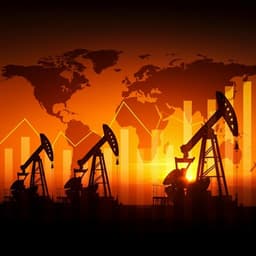
Economics
Assessing the extent and persistence of major crisis events in the crude oil market and economy: evidence from the past 30 years
Q. Zhang, Y. Hu, et al.


