Social WorkHUMANITIES AND SOCIAL SCIENCES COMMUNICATIONS
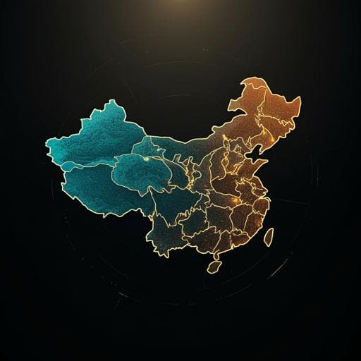
Spatial and temporal changes in population distribution and population projection at county level in China
M. Sang, J. Jiang, et al.
This compelling study by Mei Sang, Jing Jiang, Xin Huang, Feifei Zhu, and Qian Wang explores the intricate dynamics of population distribution across China from 1953 to 2020. Utilizing advanced ArcGIS and ARIMA modeling, it uncovers alarming trends of urban concentration and regional decline, paving the way for crucial discussions on future resource allocation and strategic development.
Related Publications
Explore these studies to deepen your understanding
Adjacent work that informs or extends this paper's methodology and findings.

Economics
Changes in spatiotemporal pattern and network characteristics in population migration of China's cities before and after COVID-19
Y. Zhang, X. Guo, et al.

Economics
Evaluation of county-level economic efficiency and its spatiotemporal differentiation in Hohhot-Baotou-Ordos-Yulin urban agglomeration in China
H. Miao and H. Zhou

Environmental Studies and Forestry
Projecting spatial interactions between global population and land use changes in the 21st century
D. Yang, W. Luan, et al.

Economics
Spatial and Temporal Dynamics of Urban Comprehensive Efficiency in China (2015-2019)
Y. Wu and D. Chang


