Earth Sciencescommunications earth & environment
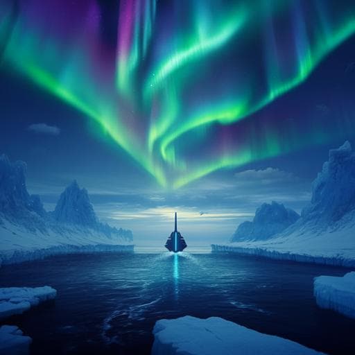
Ships are projected to navigate whole year-round along the North Sea route by 2100
P. Zhao, Y. Li, et al.
This study conducted by Pengjun Zhao, Yunlin Li, and Yu Zhang explores how climate change is transforming Arctic sea ice conditions, paving the way for potential year-round navigation through the Northern Sea Route by 2100. Discover the profound implications for global shipping and commerce.
Related Publications
Explore these studies to deepen your understanding
Adjacent work that informs or extends this paper's methodology and findings.

Environmental Studies and Forestry
Virus-pathogen interactions improve water quality along the Middle Route of the South-to-North Water Diversion Canal
T. Chen, T. Liu, et al.

Earth Sciences
Arctic open-water periods are projected to lengthen dramatically by 2100
A. Crawford, J. Stroeve, et al.

Earth Sciences
Large-scale emergence of regional changes in year-to-year temperature variability by the end of the 21st century
D. Olonscheck, A. P. Schurer, et al.

Earth Sciences
Future trends of marine fish biomass distributions from the North Sea to the Barents Sea
C. Gordó-vilaseca, M. J. Costello, et al.


