Environmental Studies and ForestryCommunications Earth & Environment
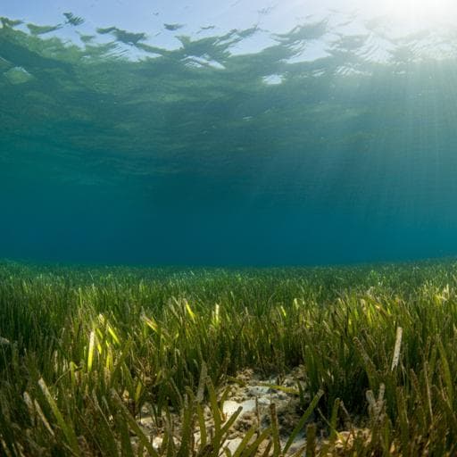
Rapid sea level rise causes loss of seagrass meadows
K. A. Capistrant-fossa and K. H. Dunton
Discover the alarming trends in global seagrass decline revealed by Kyle A. Capistrant-Fossa and Kenneth H. Dunton. This study uncovers how rising water depths have led to the disappearance of vital seagrass species in the Gulf of Mexico, raising concerns for the future of these ecosystems.
Related Publications
Explore these studies to deepen your understanding
Adjacent work that informs or extends this paper's methodology and findings.

Earth Sciences
Causes and multiyear predictability of the rapid acceleration of U.S. Southeast Sea level rise after 2010
L. Zhang, T. L. Delworth, et al.

Earth Sciences
Single extreme storm sequence can offset decades of shoreline retreat projected to result from sea-level rise
M. D. Harley, G. Masselink, et al.

Earth Sciences
The rate of global sea level rise doubled during the past three decades
B. D. Hamlington, A. Bellas-manley, et al.

Earth Sciences
Acceleration of U.S. Southeast and Gulf coast sea-level rise amplified by internal climate variability
S. Dangendorf, N. Hendricks, et al.


