
Permanent loss of barrier island resilience due to a critical transition in dune ecosystems
K. A. Ramakrishnan, T. Rinaldo, et al.
Explore these studies to deepen your understanding
Adjacent work that informs or extends this paper's methodology and findings.

A critical role of brain network architecture in a continuum model of autism spectrum disorders spanning from healthy individuals with genetic liability to individuals with ASD
B. Khundrakpam, N. Bhutani, et al.

Emergent transition from face-to-face to online learning in a South African University in the context of the Coronavirus pandemic
C. B. Mpungose
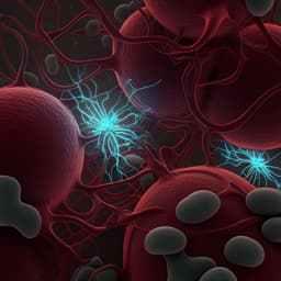
Sustained Cytotoxic Response of Peripheral Blood Mononuclear Cells from Unvaccinated Individuals Admitted to the ICU Due to Critical COVID-19 Is Essential to Avoid a Fatal Outcome
G. Orsi, G. Casado-fernández, et al.

Propagating insulator-to-metal transition in the wake of photoinduced strain waves in a Mott material
T. Amano, D. Babich, et al.


