Environmental Studies and ForestryCommunications Earth & Environment
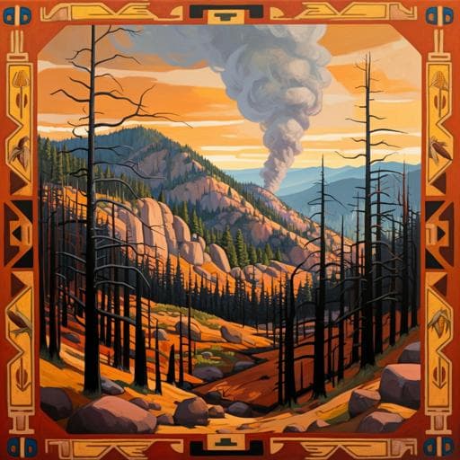
Legacies of Indigenous land use shaped past wildfire regimes in the Basin-Plateau Region, USA
V. A. Carter, A. Brunelle, et al.
This groundbreaking study reveals how Indigenous farming practices have influenced wildfire activity for centuries in the western United States. By examining sedimentary archives and other data from the Fish Lake Plateau, the research uncovers a vital connection between human land-use and fire regimes, showing that farming obscured climate impacts until its abandonment around 1400 CE. Conducted by a team of experts including Vachel A. Carter and Andrea Brunelle, this research challenges our understanding of historical fire dynamics.
Related Publications
Explore these studies to deepen your understanding
Adjacent work that informs or extends this paper's methodology and findings.
Environmental Studies and Forestry
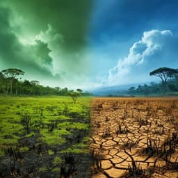
The time since land-use transition drives changes in fire activity in the Amazon-Cerrado region
A. F. S. Ribeiro, L. Santos, et al.

Psychology
The aftermath of war; mental health, substance use and their correlates with social support and resilience among adolescents in a post-conflict region of Sri Lanka
L. Dissanayake, S. Jabir, et al.
Political Science
The political-economy of land acquisition and privatization of Birr and Ayehu Farms in Amhara Region, North-West Ethiopia
A. S. Alamineh, G. F. Workie, et al.
Environmental Studies and Forestry
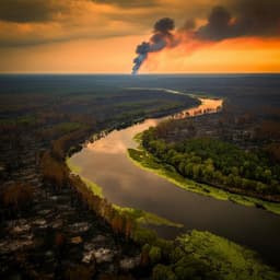
Longitudinal propagation of aquatic disturbances following the largest wildfire recorded in New Mexico, USA
J. Nichols, E. Joseph, et al.


