Earth SciencesNature Geoscience
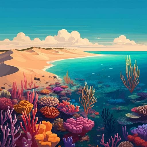
Fraser Island (K'gari) and initiation of the Great Barrier Reef linked by Middle Pleistocene sea-level change
D. Ellerton, T. M. Rittenour, et al.
Discover the intriguing timeline of Fraser Island and the Great Barrier Reef! This research by D. Ellerton, T. M. Rittenour, and their team reveals how the formation of Fraser Island's dunes during the Middle Pleistocene linked to significant coral reef development.
Related Publications
Explore these studies to deepen your understanding
Adjacent work that informs or extends this paper's methodology and findings.

Earth Sciences
Causes and multiyear predictability of the rapid acceleration of U.S. Southeast Sea level rise after 2010
L. Zhang, T. L. Delworth, et al.
Environmental Studies and Forestry
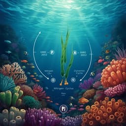
Coral skeletons reveal the history of nitrogen cycling in the coastal Great Barrier Reef
D. V. Erler, H. T. Farid, et al.

Earth Sciences
Acceleration of U.S. Southeast and Gulf coast sea-level rise amplified by internal climate variability
S. Dangendorf, N. Hendricks, et al.
Earth Sciences
Skillful multiyear to decadal predictions of sea level in the North Atlantic Ocean and U.S. East Coast
L. Zhang, T. L. Delworth, et al.


