
AgricultureCommunications Earth & Environment
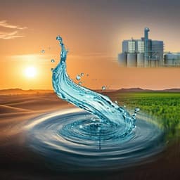
Efficient agricultural practices in Africa reduce crop water footprint despite climate change, but rely on blue water resources
V. Giordano, M. Tuninetti, et al.
Explore the vital connection between water management and food production in Africa as researchers Vittorio Giordano, Marta Tuninetti, and Francesco Laio uncover the implications of climate change for crop yields and water resources. Their compelling study reveals crucial strategies to sustain agricultural growth amidst pressing environmental challenges.
Related Publications
Explore these studies to deepen your understanding
Adjacent work that informs or extends this paper's methodology and findings.
Earth Sciences
Water resources in Saudi Arabia: trends in rainfall, water consumption, and analysis of agricultural water footprint
N. Odnolletkova and T. W. Patzek
Environmental Studies and Forestry
Nature-based solutions in mountain catchments reduce impact of anthropogenic climate change on drought streamflow
P. B. Holden, A. J. Rebelo, et al.

Agriculture
Crop switching reduces agricultural losses from climate change in the United States by half under RCP 8.5
J. Rising and N. Devineni
Economics
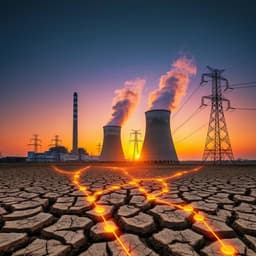
Drought and climate change impacts on cooling water shortages and electricity prices in Great Britain
E. A. Byers, G. Coxon, et al.


