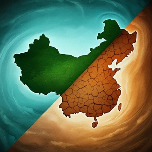
Drought in the Asian summer monsoon region is linked to a weakened inter-hemispheric temperature gradient
L. Chen, J. Chen, et al.
Explore these studies to deepen your understanding
Adjacent work that informs or extends this paper's methodology and findings.

The season for large fires in Southern California is projected to lengthen in a changing climate
C. Dong, A. P. Williams, et al.

Slow-down in summer warming over Greenland in the past decade linked to central Pacific El Niño
S. Matsumura, K. Yamazaki, et al.

A type I interferon footprint in pre-operative biopsies is an independent biomarker that in combination with CD8+ T cell quantification can improve the prediction of response to neoadjuvant treatment of rectal adenocarcinoma
A. Rezapour, D. Rydbeck, et al.

Gastric emptying of a glucose drink is predictive of the glycaemic response to oral glucose and mixed meals, but unrelated to antecedent glycaemic control, in type 2 diabetes
C. Xiang, Y. Sun, et al.


