
Environmental Studies and ForestryNature Communications
Climate and land management accelerate the Brazilian water cycle
V. B. P. Chagas, P. L. B. Chaffe, et al.
This groundbreaking study by Vinícius B. P. Chagas, Pedro L. B. Chaffe, and Günter Blöschl reveals how increased water use and deforestation have intensified the impacts of climate change on streamflow extremes across South American tropical river basins over the last four decades, posing risks to global carbon sequestration and food security.
Related Publications
Explore these studies to deepen your understanding
Adjacent work that informs or extends this paper's methodology and findings.
Earth Sciences
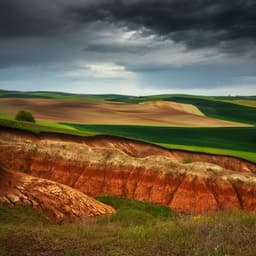
Climate and land use changes explain variation in the A horizon and soil thickness in the United States
Y. Zhang, A. E. Hartemink, et al.

Environmental Studies and Forestry
Sustainable land management enhances ecological and economic multifunctionality under ambient and future climate
F. Scherfinger, M. Schädler, et al.

Environmental Studies and Forestry
Addressing the dichotomy of fishing and climate in fishery management with the FishClim model
G. Beaugrand, A. Balembois, et al.
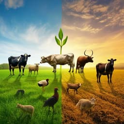
Agriculture
Recent land use and management changes decouple the adaptation of livestock diversity to the environment
E. Velado-alonso, I. Morales-castilla, et al.


