
Sustained greening of the Antarctic Peninsula observed from satellites
T. P. Roland, O. T. Bartlett, et al.
Explore these studies to deepen your understanding
Adjacent work that informs or extends this paper's methodology and findings.

Dominant role of vertical air flows in the unprecedented warming on the Antarctic Peninsula in February 2020
M. Xu, L. Yu, et al.
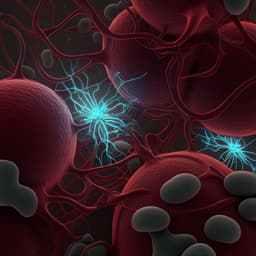
Sustained Cytotoxic Response of Peripheral Blood Mononuclear Cells from Unvaccinated Individuals Admitted to the ICU Due to Critical COVID-19 Is Essential to Avoid a Fatal Outcome
G. Orsi, G. Casado-fernández, et al.

The impact of COVID-19 on the debate on open science: a qualitative analysis of published materials from the period of the pandemic
M. B. Marshall, S. Pinfield, et al.

Analysis of the N-glycosylation profiles of the spike proteins from the Alpha, Beta, Gamma, and Delta variants of SARS-CoV-2
D. Wang, J. Baudys, et al.


