
Environmental Studies and Forestrynpj Climate and Atmospheric Science
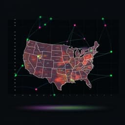
How will future climate change impact prescribed fire across the contiguous United States?
A. Jonko, J. Oliveto, et al.
Discover how future climate change impacts prescribed fire opportunities across the United States. This research by Alex Jonko, Julia Oliveto, and their esteemed team shows a dramatic shift in suitable burning days, especially concerning rising temperatures and changing weather patterns. An eye-opening study you won't want to miss!
Related Publications
Explore these studies to deepen your understanding
Adjacent work that informs or extends this paper's methodology and findings.

Political Science
The complexity of pluralistic ignorance in Republican climate change policy support in the United States
G. Dixon, C. Clarke, et al.
Health and Fitness
Social vulnerability amplifies the disparate impact of mobility on COVID-19 transmissibility across the United States
B. Huang, Z. Huang, et al.
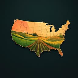
Agriculture
Crop switching reduces agricultural losses from climate change in the United States by half under RCP 8.5
J. Rising and N. Devineni

Engineering and Technology
Comparing costs and climate impacts of various electric vehicle charging systems across the United States
N. Horesh, D. A. Trinko, et al.


