Environmental Studies and ForestryJournal of Exposure Science & Environmental Epidemiology
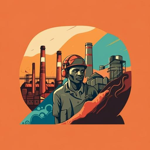
Historic redlining and the siting of oil and gas wells in the United States
D. J. X. Gonzalez, A. Nardone, et al.
This enlightening study by David J X Gonzalez and colleagues explores the link between historical redlining and the concentration of oil and gas wells in marginalized neighborhoods. The findings reveal that redlined areas suffer disproportionately, highlighting the persistent impact of racist policies on environmental justice.
Related Publications
Explore these studies to deepen your understanding
Adjacent work that informs or extends this paper's methodology and findings.

Psychology
Emotional adaptation during a crisis: decline in anxiety and depression after the initial weeks of COVID-19 in the United States
A. Shuster, M. O'brien, et al.

Political Science
The political influence of an interest group: A comparative study on the Muslim minority in the United States and Britain
E. Jan

Political Science
Extremist ideology as a complex contagion: the spread of far-right radicalization in the United States between 2005 and 2017
M. Youngblood

Environmental Studies and Forestry
Economy-wide evaluation of CO₂ and air quality impacts of electrification in the United States
J. E. T. Bistline, G. Blanford, et al.


