
Earth SciencesNature Communications
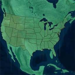
Hidden vulnerability of US Atlantic coast to sea-level rise due to vertical land motion
L. O. Ohenhen, M. Shirzaei, et al.
This groundbreaking study by Leonard O. Ohenhen, Manoochehr Shirzaei, Chandrakanta Ojha, and Matthew L. Kirwan reveals alarming findings about the vulnerability of the US Atlantic coast to sea-level rise. By thoroughly analyzing satellite data, the researchers uncover that significant subsidence rates are putting coastal marshes at risk, with many losing elevation faster than anticipated. Discover how this work reshapes our understanding of marsh vulnerability!
Related Publications
Explore these studies to deepen your understanding
Adjacent work that informs or extends this paper's methodology and findings.
Earth Sciences
Ocean mass, sterodynamic effects, and vertical land motion largely explain US coast relative sea level rise
T. C. Harvey, B. D. Hamlington, et al.

Earth Sciences
Skillful multiyear to decadal predictions of sea level in the North Atlantic Ocean and U.S. East Coast
L. Zhang, T. L. Delworth, et al.

Environmental Studies and Forestry
Demographics and risk of isolation due to sea level rise in the United States
K. Best, Q. He, et al.

Earth Sciences
Assessing population exposure to coastal flooding due to sea level rise
M. E. Hauer, D. Hardy, et al.


